Ohiya | |
|---|---|
Village | |
 Ohiya, Rahangala Mountain, Pattipola and Horton Plains area (view from Boralanda) | |
 Ohiya | |
| Coordinates: 6°49′11″N 80°50′21″E / 6.81972°N 80.83917°E | |
| Country | Sri Lanka |
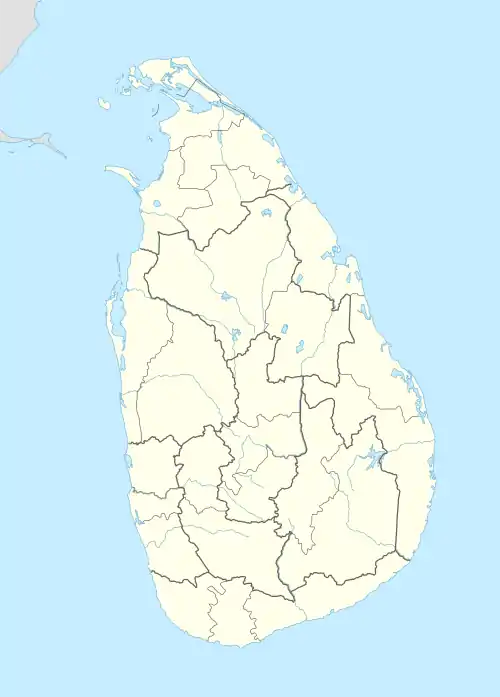
| Province | Uva Province |
| Elevation | 1,774 m (5,820 ft) |
| Time zone | UTC+5:30 (Sri Lanka Standard Time Zone) |
| Postcode | 90168 |
Ohiya (Sinhala: ඔහිය) is a rural village located in Badulla District of Uva Province, Sri Lanka.[1][2] It is located approximately 224 km (139 mi) southeast of Colombo. Ohiya is in the Welimada Divisional Secretariat Division and the Grama Niladhari Division number is 62A.[3]
It is the nearest major settlement to the Horton Plains National Park and serves as a gateway to the National Park and several other nature reserves.[4]
Population
| Total | Male | Female |
|---|---|---|
| 697 | 332 | 365 |
(Source Welimada Divisional Secretariat 2008-statistics)[5]

Ohiya Railway Station
Transport
Attractions
- Horton Plains National Park - located 8 km (5.0 mi) away from Ohiya
- Ohiya Gap/Dondra Watch, from this vantage point, which looks out over the Haputale valley, the Dondra Head Lighthouse (101 km (63 mi)) is occasionally visible.
- Ohiya Forest
- The Devil's Staircase, a road which drops down 1,100 m (3,600 ft) in less than 12 kilometres (7.5 mi) is located beyond Udaweria Estate about 8 km away from the station
- Bamabarakanda Falls, the highest waterfall (263 m (863 ft)) in the country, is located 22 km (14 mi) away from Ohiya
- Rahangala Mountain – located 8 km (5.0 mi) away from Ohiya
Schools
- B/Ohiya Siddharatha Vidyalaya [9]
See also
Railway Line Continuity
References
- ↑ Ohiya. Nature.sarisara.com. Retrieved on 2013-03-17.
- ↑ One more heave. dailynews.lk (2009-01-01) . Retrieved on 2013-03-17.
- ↑ Territorial Jurisdiction of High Courts, District Courts and Magistrate’s Courts. Ministry of Justice and Law Reforms of Sri Lanka
- ↑ The Way to Horton Plains. Nation.lk (2009-03-01). Retrieved on 2013-03-17.
- ↑ වැලිමඩ ප්රාදේශීය ලේකම් කොට්ඨාශයේ ජනගහනය පිළිබද තොරතුරු 2007– 2008. Welimada Divisional Secretariat. ds.gov.lk
- ↑ 18th Railway Tunnel of Pattipola. Lankanewspapers.com (4 October 2008). Retrieved on 2013-03-17.
- ↑ Central Highlands Nature Tour. Infohub.com. Retrieved on 2013-03-17.
- ↑ Welimada – Boralanda – Ohiya – Horton Plains (32.47 km) Archived 28 April 2016 at the Wayback Machine. Rda.gov.lk. Retrieved on 2013-03-17.
- ↑ Schools Archived 22 July 2011 at the Wayback Machine. gov.lk (2006) . Retrieved on 17 March 2013
This article is issued from Wikipedia. The text is licensed under Creative Commons - Attribution - Sharealike. Additional terms may apply for the media files.