Boralanda | |
|---|---|
 Boralanda | |
| Coordinates: 6°49′44″N 80°53′39″E / 6.82889°N 80.89417°E | |
| Country | Sri Lanka |
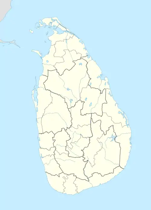
| Province | Uva |
| District | Badulla |
| Time zone | UTC+5:30 (Sri Lanka Standard Time Zone) |
Boralanda (බොරලන්ද in Sinhala language) is a rural town in Sri Lanka. It is located in Badulla District of Uva Province, Sri Lanka. [1] [2] [3] [4]
The easiest access path to the Horton Plains National Park is fallen through Boralanda via Ohiya.[5][6]
Transport
Following bus routes are fallen through Boralanda
- Haputale - Welimada (134)
- Boralanda-Bandarawela (228 Via Diyatalawa)
- Welimada - Ohiya- Hortan Plains (B508)[7]
- Boralanda - Welimada (311 via Bogahakumbura and Keppetipola)
- Haputale - Nuwaraeliya (via Bogahakumbura and Keppetipola)
Government Institutions
Some important places around Boralanda

View of the Rahangala mountain
- Horton Plains National Park
- St. Thomas' College, Guruthalawa
- Ohiya
- Rahangala Peak
- Hinnarangolla Temple
- Boralanda Farm
- Welimada
- Haputale
- Diyatalawa
See also
References
- ↑ Potatoes Archived July 22, 2011, at the Wayback Machine
- ↑ potato at boralanda area
- ↑ "Agriculture". Archived from the original on 2016-03-04. Retrieved 2009-07-24.
- ↑ Halylese Flower Seeds Archived June 4, 2011, at the Wayback Machine
- ↑ Distance to Horton Plains via Boralanda?
- ↑ Access to Place Archived January 16, 2009, at the Wayback Machine
- ↑ Welimada - Boralanda - Ohiya - Horton Plains (32.47 km) Archived April 28, 2016, at the Wayback Machine
- ↑ Agriculture Research Farm
- ↑ potato cultivation at Boralanda Agriculture farm
- ↑ Post Offices Archived March 5, 2009, at the Wayback Machine
This article is issued from Wikipedia. The text is licensed under Creative Commons - Attribution - Sharealike. Additional terms may apply for the media files.