Kachurwahi
काचुरवाही | |
|---|---|
village | |
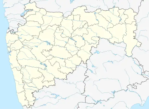 Kachurwahi Location in Maharashtra, India  Kachurwahi Kachurwahi (India) | |
| Coordinates: 21°20′00″N 79°23′00″E / 21.3333°N 79.3833°E | |
| Country | |
| State | Maharashtra |
| District | Nagpur |
| Area | |
| • Total | 1 km2 (0.4 sq mi) |
| Elevation | 294 m (965 ft) |
| Population (2001) | |
| • Total | 2,678[1] |
| Language | |
| • Official | Marathi |
| Time zone | UTC+5:30 (IST) |
| PIN | 441106 |
| Telephone code | +07114 |
| Vehicle registration | MH-40 |
| Sex ratio | 980/1000 ♂/♀ |
Kachurwahi is a Gram Panchayat village in Ramtek Tehsil of Nagpur district, India. It is situated in the South East of Ramtek at the distance of 10 km from Ramtek.
The village has a post office and a branch of State Bank of India.[2] It has a primary school and two high schools.
References
Wikimedia Commons has media related to Kachurwahi
- ↑ Census 2011
- ↑ "Branch Locator - SBI Corporate Website". www.sbi.co.in. Retrieved 6 October 2019.
| History | .svg.png.webp) | ||||||||||||
|---|---|---|---|---|---|---|---|---|---|---|---|---|---|
| Geography | |||||||||||||
| Cities and towns | |||||||||||||
| Villages | |||||||||||||
| Monuments | |||||||||||||
| Education |
| ||||||||||||
| Transport |
| ||||||||||||
| Constituencies |
| ||||||||||||
This article is issued from Wikipedia. The text is licensed under Creative Commons - Attribution - Sharealike. Additional terms may apply for the media files.