Sillewada | |
|---|---|
city | |
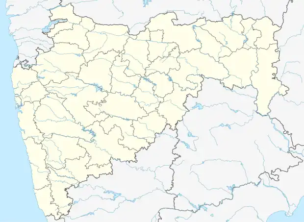 Sillewada Location in Maharashtra, India | |
| Coordinates: 21°18′05″N 79°07′21″E / 21.3015°N 79.1225°E | |
| Country | |
| State | Maharashtra |
| District | Nagpur |
| Population (2001) | |
| • Total | 8,503 |
| Languages | |
| • Official | Marathi |
| Time zone | UTC+5:30 (IST) |
Sillewada is a census town in Nagpur district in the Indian state of Maharashtra. It is a coal mine town with Western Coalfields Limited having several mines in and around the place.
Demographics
As of 2001 India census,[1] Sillewada had a population of 8503. Males constitute 53% of the population and females 47%. Sillewada has an average literacy rate of 75%, higher than the national average of 59.5%: male literacy is 80%, and female literacy is 69%. In Sillewada, 12% of the population is under 6 years of age.
| Year | Male | Female | Total Population | Change | Religion (%) | |||||||
|---|---|---|---|---|---|---|---|---|---|---|---|---|
| Hindu | Muslim | Christian | Sikhs | Buddhist | Jain | Other religions and persuasions | Religion not stated | |||||
| 2001[2] | 4530 | 3973 | 8503 | - | 79.054 | 13.419 | 0.706 | 0.106 | 6.668 | 0.000 | 0.047 | 0.000 |
| 2011[3] | 3867 | 3423 | 7290 | -14.266 | 79.150 | 14.595 | 0.576 | 0.329 | 5.144 | 0.082 | 0.000 | 0.123 |
References
- ↑ "Census of India 2001: Data from the 2001 Census, including cities, villages and towns (Provisional)". Census Commission of India. Archived from the original on 16 June 2004. Retrieved 1 November 2008.
- ↑ Census India 2001.
- ↑ Census India 2011.
This article is issued from Wikipedia. The text is licensed under Creative Commons - Attribution - Sharealike. Additional terms may apply for the media files.