Kamba County
岗巴县 • གམ་པ་རྫོང་། Gamba, Gangba | |
|---|---|
.png.webp) Location of Kamba County (red) within Xigazê City (yellow) and the Tibet A.R. | |
 Kamba Location of the seat in the Tibet A.R. 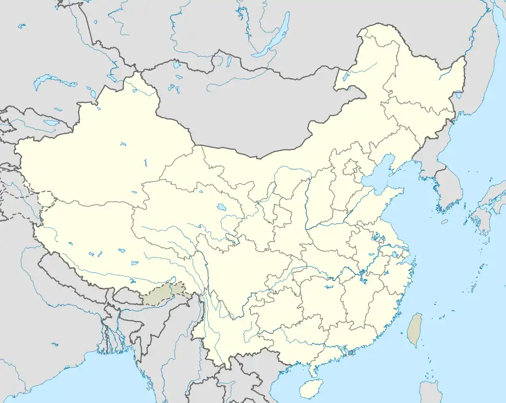 Kamba Kamba (China) | |
| Coordinates: 28°16′33″N 88°31′14″E / 28.27583°N 88.52056°E | |
| Country | China |
| Autonomous region | Tibet |
| Prefecture-level city | Xigazê |
| County seat | Kamba |
| Area | |
| • Total | 4,204 km2 (1,623 sq mi) |
| Population (2020)[1] | |
| • Total | 11,276 |
| • Density | 2.7/km2 (6.9/sq mi) |
| Time zone | UTC+8 (China Standard) |
| Website | www |
| Kamba County | |||||||
|---|---|---|---|---|---|---|---|
| Chinese name | |||||||
| Simplified Chinese | 岗巴县 | ||||||
| Traditional Chinese | 崗巴縣 | ||||||
| |||||||
| Tibetan name | |||||||
| Tibetan | གམ་པ་རྫོང་། | ||||||
| |||||||
Kamba County (Tibetan: གམ་པ་རྫོང, Chinese: 岗巴县) is a county of Xigazê in the Tibet Autonomous Region, China, bordering India's Sikkim state to the south. The capital lies at Kampa Dzong town which has a noted military facility.
Administration divisions
Kamba County is divided into 1 town and 4 townships.
| Name | Chinese | Hanyu Pinyin | Tibetan | Wylie | ||
|---|---|---|---|---|---|---|
| Town | ||||||
| Kampa Town (Kampa Dzong) |
岗巴镇 | Gǎngbā zhèn | གམ་པ་གྲོང་རྡལ། | gam pa grong rdal | ||
| Townships | ||||||
| Changlung Township | 昌龙乡 | Chānglóng xiāng | གྲང་ལུང་ཤང་། | grang lung shang | ||
| Chig Township | 直克乡 | Zhíkè xiāng | འགྲིགས་ཤང་། | 'grigs shang | ||
| Gurme Township | 孔玛乡 | Kǒngmǎ xiāng | གུར་མེ་ཤང་། | gur me shang | ||
| Lungrong Township | 龙中乡 | Lóngzhōng xiāng | གྲང་ལུང་ཤང་། | grang lung shang | ||
References
- ↑ "日喀则市第七次全国人口普查主要数据公报" (in Chinese). Government of Xigazê. 2021-07-20.
| County-level divisions |
|  | ||||
|---|---|---|---|---|---|---|
| Settlements | ||||||
| Landmarks | ||||||
| Geography | ||||||
| Transport |
| |||||
This article is issued from Wikipedia. The text is licensed under Creative Commons - Attribution - Sharealike. Additional terms may apply for the media files.