Nyima County
尼玛县 • ཉི་མ་རྫོང་། | |
|---|---|
 Location of Nyima County (pale green, #9AFF00) in Nagqu | |
 Nyima Location of the seat in the Tibet AR 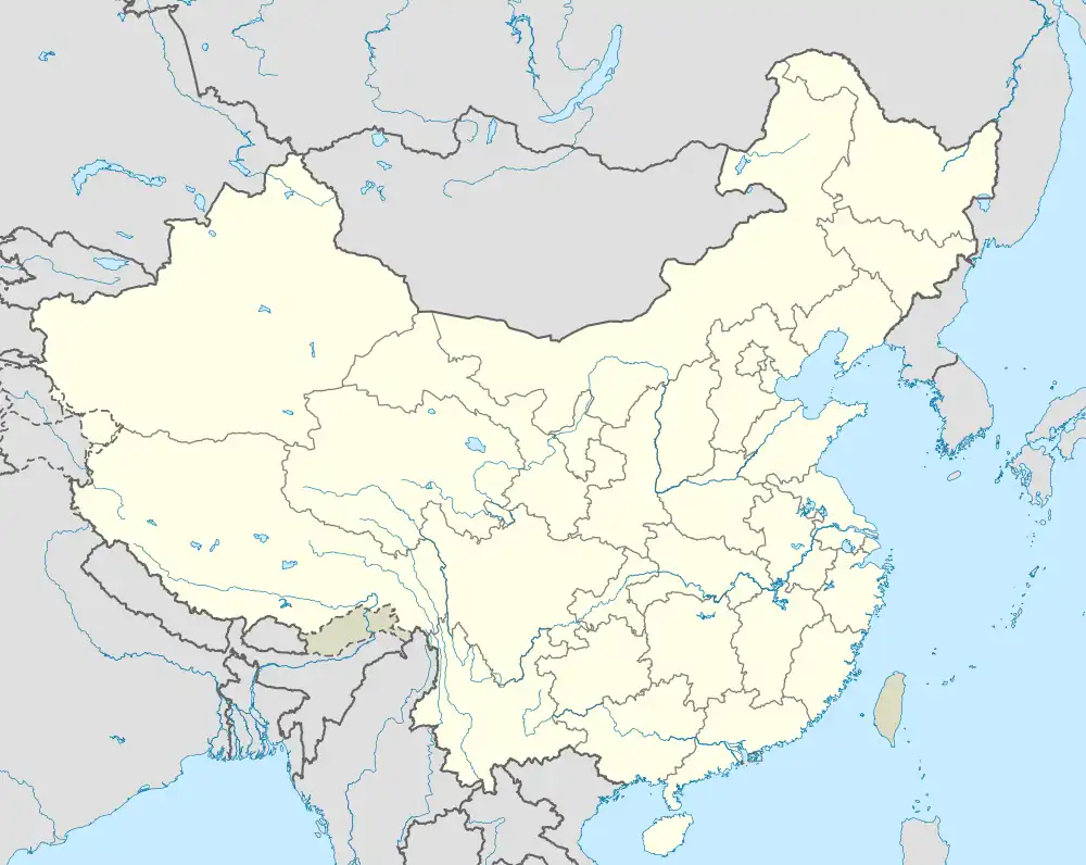 Nyima Nyima (China) | |
| Coordinates (Nyima County government): 31°47′05″N 87°14′12″E / 31.7847°N 87.2368°E | |
| Country | China |
| Autonomous region | Tibet |
| Prefecture-level city | Nagqu |
| County seat | Nyima |
| Area | |
| • Total | 72,532.12 km2 (28,004.81 sq mi) |
| Population (2020)[1] | |
| • Total | 33,006 |
| • Density | 0.46/km2 (1.2/sq mi) |
| Time zone | UTC+8 (China Standard) |
| Website | www |
| Nyima County | |||||||
|---|---|---|---|---|---|---|---|
| Chinese name | |||||||
| Simplified Chinese | 尼玛县 | ||||||
| Traditional Chinese | 尼玛縣 | ||||||
| |||||||
| Tibetan name | |||||||
| Tibetan | ཉི་མ་རྫོང་། | ||||||
| |||||||
Nyima County (Tibetan: ཉི་མ་རྫོང་།; Chinese: 尼玛县) is the westernmost county-level division under the administration of the prefecture-level city of Nagqu, Tibet Autonomous Region, China. The northern part of the county is within the Changtang area.
With an area of 62,349 km2 (24,073 sq mi) and a population of 33,006 (2020), it has an average population density of approximately 0.53 people per square kilometre.
It is situated in the central-northern part of the Tibetan Plateau, between Nagqu's Shuanghu County to the east and Ngari's Gêrzê County to the west.
Administrative divisions
The county is divided into 1 town and 13 townships:
| Name | Chinese | Hanyu Pinyin | Tibetan | Wylie |
|---|---|---|---|---|
| Town | ||||
| Nyima Town | 尼玛镇 | Nímǎ zhèn | ཉི་མ་གྲོང་རྡལ། | nyi ma grong rdal |
| Townships | ||||
| Dro'nyin Township | 卓尼乡 | Zhuóní xiāng | འགྲོ་ཉིན་ཤང་། | 'gro nyin shang |
| Targo Township | 达果乡 | Dáguǒ xiāng | བསྟར་སྒོ་ཤང་། | bstar sgo shang |
| Aso Township | 阿索乡 | Ãsuǒ xiāng | ཨ་གསོ་ཤང་། | a gso shang |
| Rongma Township | 荣玛乡 | Róngmǎ xiāng | རོང་མ་ཤང་། | rong ma shang |
| Drongtsang Township | 中仓乡 | Zhōngcāng xiāng | གྲོང་ཚང་ཤང་། | grong tshang shang |
| Latö Township | 来多乡 | Láiduō xiāng | ལ་སྟོད་ཤང་། | la stod shang |
| Sin'ya Township | 申亚乡 | Shēnyà xiāng | སྲིན་ཡ་ཤང་། | srin ya shang |
| Drowa Township | 卓瓦乡 | Zhuówǎ xiāng | གྲོ་བ་ཤང་། | gro ba shang |
| Ngochu Township | 俄久乡 | Éjiǔ xiāng | སྔོ་ཆུ་ཤང་། | sngo chu shang |
| Ombu Township | 文布乡 | Wénbù xiāng | ཨོམ་བུ་ཤང་། | om bu shang |
| Gyagok Township | 甲谷乡 | Jiǎgǔ xiāng | རྒྱ་སྒོག་ཤང་། | rgya sgog shang |
| Kyungtsang Township | 军仓乡 | Jūncāng xiāng | སྐྱུང་ཚང་ཤང་། | skyung tshang shang |
| Kyelwa Township | 吉瓦乡 | Jíwǎ xiāng | སྐྱེལ་བ་ཤང་། | skyel ba shang |
Gallery
.png.webp) Location of Nyima County within Tibet (outdated map, shows the situation in 2007, before the establishment of Shuanghu County in 2012)
Location of Nyima County within Tibet (outdated map, shows the situation in 2007, before the establishment of Shuanghu County in 2012) Map including part of southern Nyima County (ATC, 1970)
References
- ↑ "那曲市第七次全国人口普查主要数据公报" (in Chinese). Statistics Bureau of Nagqu. 2021-07-09.
| District |  | |
|---|---|---|
| Counties | ||
| Towns and villages |
| |
| Geography |
| |
This article is issued from Wikipedia. The text is licensed under Creative Commons - Attribution - Sharealike. Additional terms may apply for the media files.