Zapotitlán Palmas | |
|---|---|
Municipality and town | |
 Location of the municipality in Oaxaca | |
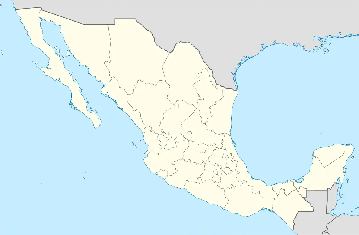 Zapotitlán Palmas Location in Mexico | |
| Coordinates: 17°54′N 97°49′W / 17.900°N 97.817°W | |
| Country | |
| State | Oaxaca |
| Established | 23 October 1891 |
| Area | |
| • Total | 43.973 km2 (16.978 sq mi) |
| Population (2010) | |
| • Total | 1,514 |
| • Density | 34/km2 (89/sq mi) |
| Time zone | UTC-6 (Central Standard Time) |
| • Summer (DST) | UTC-5 (Central Daylight Time) |
Zapotitlán Palmas is a town and municipality in Oaxaca in south-western Mexico. The municipality covers an area of km². It is part of the Huajuapan District in the north of the Mixteca Region.
References
This article is issued from Wikipedia. The text is licensed under Creative Commons - Attribution - Sharealike. Additional terms may apply for the media files.