| Whiteshield Mountain | |
|---|---|
 Whiteshield Mountain Location in Alberta and British Columbia 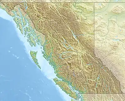 Whiteshield Mountain Whiteshield Mountain (British Columbia) | |
| Highest point | |
| Elevation | 2,684 m (8,806 ft)[1][2] |
| Prominence | 278 m (912 ft)[3] |
| Parent peak | Devout Peak (2689 m)[3] |
| Listing | |
| Coordinates | 53°18′19″N 119°21′16″W / 53.30528°N 119.35444°W[4] |
| Geography | |
| Country | Canada |
| Provinces | Alberta and British Columbia |
| District | Cariboo Land District[5] |
| Parent range | Park Ranges |
| Topo map | NTS 83E6 Twintree Lake[4] |
Whiteshield Mountain is located at the northern boundary of Mount Robson Provincial Park on the Alberta-British Columbia border.[5] It was named in 1924 because of the ice and snow on the eastern side of the mountain.[1][3]
See also
References
- 1 2 "Whiteshield Mountain". cdnrockiesdatabases.ca. Retrieved 2023-08-06.
- ↑ "Topographic map of Whiteshield Mountain". opentopomap.org. Retrieved 2023-08-05.
- 1 2 3 "Whiteshield Mountain". Bivouac.com. Retrieved 2023-08-06.
- 1 2 "Whiteshield Mountain". Geographical Names Data Base. Natural Resources Canada. Retrieved 2023-08-05.
- 1 2 "Whiteshield Mountain". BC Geographical Names. Retrieved 2023-08-06.
This article is issued from Wikipedia. The text is licensed under Creative Commons - Attribution - Sharealike. Additional terms may apply for the media files.