Tenneville
| |
|---|---|
 Church of Notre-Dame de Beauraing (1957) | |
Location of Tenneville | |
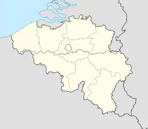 Tenneville Location in Belgium
Location of Tenneville in Luxembourg province  | |
| Coordinates: 50°06′N 05°32′E / 50.100°N 5.533°E | |
| Country | |
| Community | French Community |
| Region | Wallonia |
| Province | Luxembourg |
| Arrondissement | Marche-en-Famenne |
| Government | |
| • Mayor | Nicolas Charlier (cdH) |
| • Governing party/ies | IC Tenneville |
| Area | |
| • Total | 91.95 km2 (35.50 sq mi) |
| Population (2018-01-01)[1] | |
| • Total | 2,842 |
| • Density | 31/km2 (80/sq mi) |
| Postal codes | 6970-6972 |
| NIS code | 83049 |
| Area codes | 084 |
| Website | tenneville.be |
Tenneville (French pronunciation: [tɛnvil]; Walloon: Tiniveye) is a municipality of Wallonia located in the province of Luxembourg, Belgium.
On 1 January 2018 the municipality, which covers 91.81 km², had 2,842 inhabitants, giving a population density of 31 inhabitants per km².
The municipality consists of the following districts: Champlon, Erneuville, and Tenneville. Other population centers include Baconfoy, Beaulieu, Belle-Vue, Berguème, Cens, Grainchamps, Journal, Laneuville-au-Bois, Mochamps, Ortheuville, Prelle, Ramont, Tresfontaines, Wembay, and Wyompont.
References
- ↑ "Wettelijke Bevolking per gemeente op 1 januari 2018". Statbel. Retrieved 9 March 2019.
External links
 Media related to Tenneville at Wikimedia Commons
- Official website (in French)
Places adjacent to Tenneville | ||||||||||||||||
|---|---|---|---|---|---|---|---|---|---|---|---|---|---|---|---|---|
| ||||||||||||||||
Municipalities of the province of Luxembourg, Wallonia | ||
|---|---|---|
| Arlon |  | |
| Bastogne | ||
| Marche-en-Famenne | ||
| Neufchâteau | ||
| Virton | ||
Bold indicates cities | ||
This article is issued from Wikipedia. The text is licensed under Creative Commons - Attribution - Sharealike. Additional terms may apply for the media files.