| Sausvatnet | |
|---|---|
 Sausvatnet Location of the lake Show map of Nordland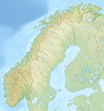 Sausvatnet Sausvatnet (Norway) Show map of Norway | |
| Location | Brønnøy, Nordland |
| Coordinates | 65°20′42″N 12°39′28″E / 65.3450°N 12.6578°E / 65.3450; 12.6578 |
| Basin countries | Norway |
| Max. length | 8.5 kilometres (5.3 mi) |
| Max. width | 1 kilometre (0.62 mi) |
| Surface area | 4.84 km2 (1.87 sq mi) |
| Shore length1 | 21.32 kilometres (13.25 mi) |
| Surface elevation | 15 metres (49 ft) |
| References | NVE |
| 1 Shore length is not a well-defined measure. | |
Sausvatnet is a lake that is located in Brønnøy Municipality in Nordland county, Norway. There is also a small village on the eastern shore called Sausvatn. The lake is located about 7 kilometres (4.3 mi) south of the village of Hommelstø and about 15 kilometres (9.3 mi) northwest of the village of Lande.[1]
See also
References
- ↑ "Sausvatnet" (in Norwegian). yr.no. Retrieved 2011-11-03.
This article is issued from Wikipedia. The text is licensed under Creative Commons - Attribution - Sharealike. Additional terms may apply for the media files.