Presidente Getúlio | |
|---|---|
Municipality | |
.svg.png.webp) Flag .svg.png.webp) Seal | |
 Location of Presidente Getúlio in the State of Santa Catarina | |
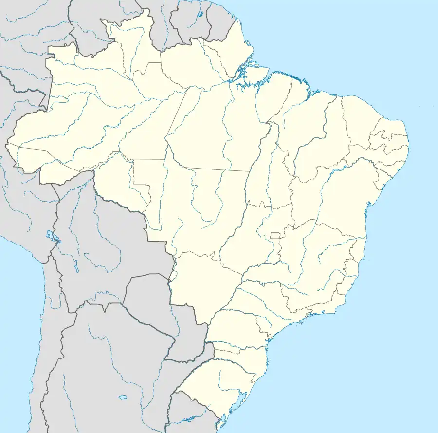 Presidente Getúlio Location in Brazil | |
| Coordinates: 27°03′03″S 49°37′22″W / 27.05083°S 49.62278°W | |
| Country | |
| Region | South |
| State | Santa Catarina |
| Mesoregion | Vale do Itajai |
| Area | |
| • Total | 114,730 sq mi (297,160 km2) |
| Population (2020 [2]) | |
| • Total | 17,726 |
| • Density | 0.15/sq mi (0.060/km2) |
| Time zone | UTC -3 |
| Website | presidentegetulio |
Presidente Getúlio is a municipality in the state of Santa Catarina in the South region of Brazil.[3][4][5][6]
See also
References
Wikimedia Commons has media related to Presidente Getúlio.
- ↑ "Brazilian Institute of Geography and Statistics" (PDF) (in Brazilian Portuguese). 2018. Retrieved 8 June 2019.
2018 Estimates of Population
- ↑ IBGE 2020
- ↑ "Divisão Territorial do Brasil" (in Portuguese). Divisão Territorial do Brasil e Limites Territoriais, Instituto Brasileiro de Geografia e Estatística (IBGE). July 1, 2008. Retrieved December 17, 2009.
- ↑ "Estimativas da população para 1º de julho de 2009" (PDF) (in Portuguese). Estimativas de População, Instituto Brasileiro de Geografia e Estatística (IBGE). August 14, 2009. Retrieved December 17, 2009.
- ↑ "Ranking decrescente do IDH-M dos municípios do Brasil" (in Portuguese). Atlas do Desenvolvimento Humano, Programa das Nações Unidas para o Desenvolvimento (PNUD). 2000. Archived from the original on October 3, 2009. Retrieved December 17, 2009.
- ↑ "Produto Interno Bruto dos Municípios 2002-2005" (PDF) (in Portuguese). Instituto Brasileiro de Geografia e Estatística (IBGE). December 19, 2007. Retrieved December 17, 2009.
Capital: Florianópolis | |||||||||
| Grande Florianópolis |
|  | |||||||
| Norte Catarinense |
| ||||||||
| Oeste Catarinense | |||||||||
| Serrana |
| ||||||||
| Sul Catarinense |
| ||||||||
| Vale do Itajai |
| ||||||||
27°03′S 49°37′W / 27.050°S 49.617°W
This article is issued from Wikipedia. The text is licensed under Creative Commons - Attribution - Sharealike. Additional terms may apply for the media files.