| Poyntington | |
|---|---|
 Poyntington Manor | |
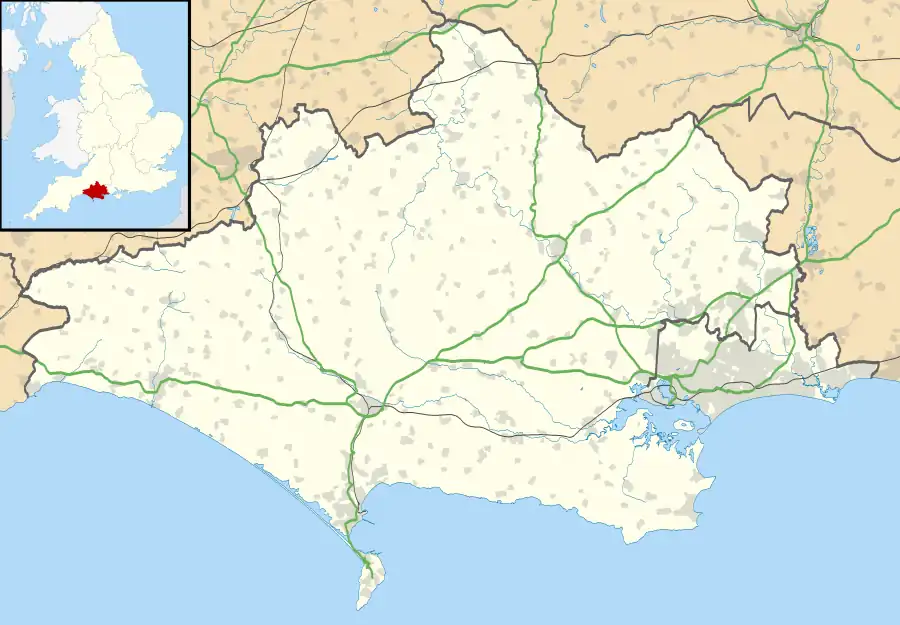 Poyntington Location within Dorset | |
| Population | 128 [1] |
| OS grid reference | ST650200 |
| Civil parish |
|
| Unitary authority | |
| Shire county | |
| Region | |
| Country | England |
| Sovereign state | United Kingdom |
| Post town | Sherborne |
| Postcode district | DT9 |
| Dialling code | 01963 |
| Police | Dorset |
| Fire | Dorset and Wiltshire |
| Ambulance | South Western |
| UK Parliament | |
Poyntington is a village and civil parish in the county of Dorset in South West England. It lies on the edge of the Blackmore Vale about 2 miles (3.2 km) north of Sherborne. In the 2011 census the parish had a population of 128.[1]
Poyntington shares a grouped parish council, Yeohead & Castleton Parish Council, with the three village parishes of Castleton, Goathill and Oborne.[2] Historically the village was part of the hundred of Horethorne in neighbouring Somerset.[3]
All Saints' Church has grown from an Anglo-Saxon two-room design and contains original Norman work. Murals on pillars were discovered in 1848[4] but were destroyed by their exposure. Two stained-glass windows date from the fourteenth century. An unusual addition is a carving of an angel's wing which was blown off Amiens Cathedral in World War I and then donated to the church.[5]
Notable residents
- Sir Thomas Malet, Judge
- William Launcelot Scott Fleming
- Sir Ralph Cheyne (d.1400)
References
- 1 2 "Area: Poyntington (Parish), Key Figures for 2011 Census: Key Statistics". Neighbourhood Statistics. Office for National Statistics. Retrieved 15 March 2014.
- ↑ "Yeohead & Castleton Parish Council". Retrieved 3 February 2015.
- ↑ "Somerset Hundreds". GENUKI. Retrieved 23 April 2013.
- ↑ Poyntington, Genuki, accessed July 2009
- ↑ Poyntington Church Archived 7 August 2008 at the Wayback Machine, Dorset Historic Churches Trust, accessed July 2009
External links
![]() Media related to Poyntington at Wikimedia Commons
Media related to Poyntington at Wikimedia Commons