Pimenta Bueno | |
|---|---|
 Flag  Coat of arms | |
 Location in Rondônia state | |
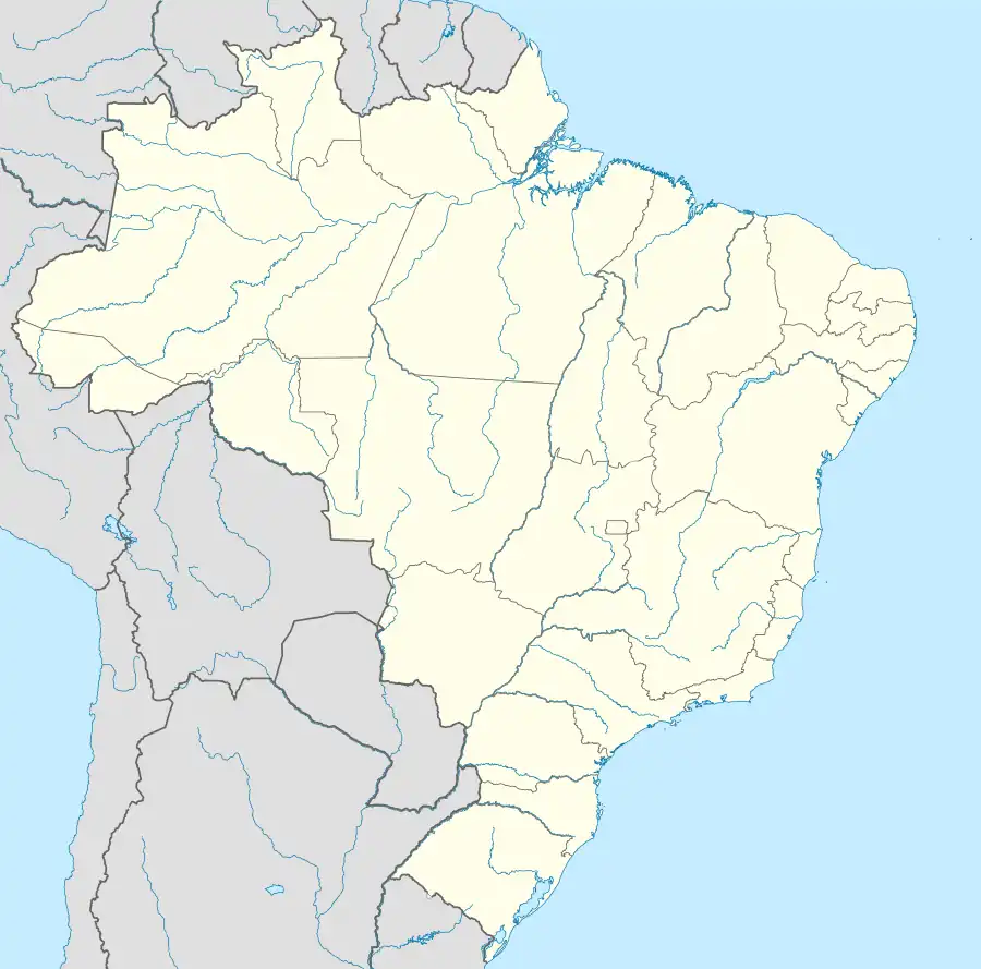 Pimenta Bueno Location in Brazil | |
| Coordinates: 11°40′21″S 61°11′37″W / 11.67250°S 61.19361°W | |
| Country | Brazil |
| Region | North |
| State | Rondônia |
| Area | |
| • Total | 6,241 km2 (2,410 sq mi) |
| Population (2020 [1]) | |
| • Total | 36,881 |
| • Density | 5.9/km2 (15/sq mi) |
| Time zone | UTC−4 (AMT) |
Pimenta Bueno is a municipality located in the Brazilian state of Rondônia. Its population was 36,881 (2020) and its area is 6,241 km².[2]
The municipality contained the 27,860 hectares (68,800 acres) Rio Roosevelt State Forest, created in 1990 and cancelled in 2010.[3]
The city is served by Pimenta Bueno Airport.
References
Capital: Porto Velho | ||||||||
| Porto Velho |
|  | ||||||
| Ji-Paraná |
| |||||||
This article is issued from Wikipedia. The text is licensed under Creative Commons - Attribution - Sharealike. Additional terms may apply for the media files.