Pichucalco | |
|---|---|
 Pichucalco town | |
 Municipality of Pichucalco in Chiapas | |
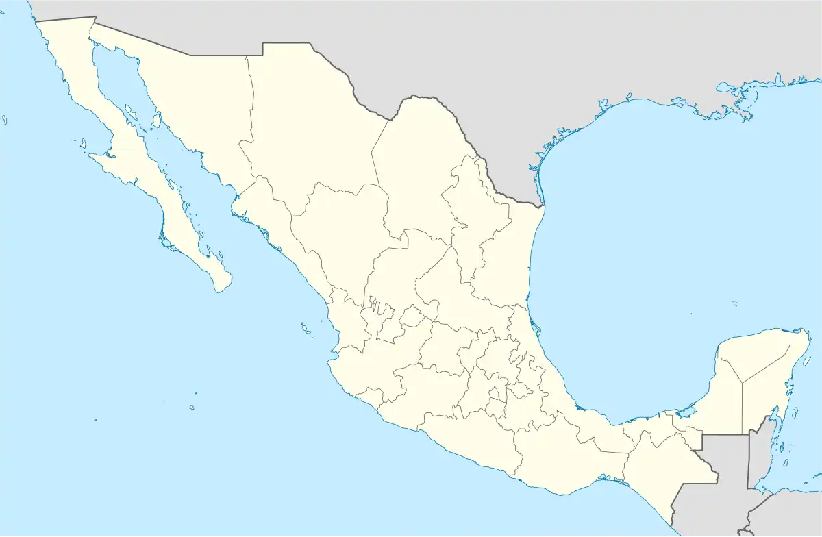 Pichucalco Location in Mexico | |
| Coordinates: 17°30′N 93°07′W / 17.500°N 93.117°W | |
| Country | |
| State | Chiapas |
| Area | |
| • Total | 1,078.1 km2 (416.3 sq mi) |
| Elevation | 44 m (144 ft) |
| Population (2020) | |
| • Total | 29,990 |
Pichucalco is a town and municipality in the Mexican state of Chiapas in southern Mexico.
As of 2010, the municipality had a total population of 29,813,[1] up from 29,357 as of 2005.[2] It covers an area of 1,078.1 km².
As of 2010, the city of Pichucalco had a population of 14,212.[1] Other than the city of Pichucalco, the municipality had 86 localities, the largest of which (with 2010 populations in parentheses) was: Nuevo Nicapa (1,346), classified as rural.[1]
Pichucalco served as the head town for the Second Federal Electoral District of Chiapas between 1996 and 2005.
See also
- El Chichón
- Pichucalco, 2013-02-04
References
- 1 2 3 "Pichucalco". Catálogo de Localidades. Secretaría de Desarrollo Social (SEDESOL). Retrieved 23 April 2014.
- ↑ "Pichucalco". Enciclopedia de los Municipios de México. Instituto Nacional para el Federalismo y el Desarrollo Municipal / Gobierno del Estado de Chiapas. Archived from the original on September 30, 2007. Retrieved August 1, 2008.

This article is issued from Wikipedia. The text is licensed under Creative Commons - Attribution - Sharealike. Additional terms may apply for the media files.