Perci
Perzi | |
|---|---|
Village | |
 Perci | |
| Coordinates: 45°26′30″N 13°56′10″E / 45.441667°N 13.93611°E | |
| Country | |
| County | |
| Municipality | |
| Area | |
| • Total | 1.2 sq mi (3.1 km2) |
| Elevation | 545 ft (166 m) |
| Population (2021)[2] | |
| • Total | 43 |
| • Density | 36/sq mi (14/km2) |
| Time zone | UTC+1 (CET) |
| • Summer (DST) | UTC+2 (CEST) |
| Postal code | 52420 Buzet |
| Area code | 052 |
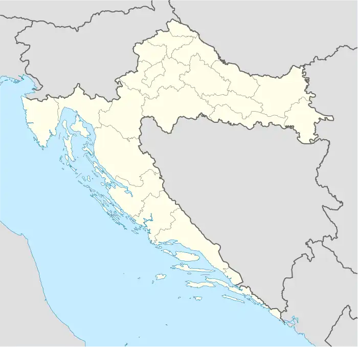
Perci (Italian: Perzi) is a village in Istria County, Croatia. Administratively it belongs to Buzet.[3]
Geography
It lies at the centre of Northern Istria Peninsula, 24 km from Pazin and 5 km from the centre of the settlement. It is at the border with Slovenia.
Demographics
According to the 2021 census, its population was 43.[2]
Historical population
| Lakosság változása[4][5] | ||||||||||||||||
|---|---|---|---|---|---|---|---|---|---|---|---|---|---|---|---|---|
| 1857 | 1869 | 1880 | 1890 | 1900 | 1910 | 1921 | 1931 | 1948 | 1953 | 1961 | 1971 | 1981 | 1991 | 2001 | 2011 | 2021 |
| 0 | 0 | 148 | 155 | 166 | 190 | 0 | 0 | 135 | 127 | 99 | 87 | 75 | 62 | 58 | 52 | 43 |
References
- ↑ Register of spatial units of the State Geodetic Administration of the Republic of Croatia. Wikidata Q119585703.
- 1 2 "Population by Age and Sex, by Settlements, 2021 Census". Census of Population, Households and Dwellings in 2021. Zagreb: Croatian Bureau of Statistics. 2022.
- ↑ Prostorni plan - Buzet (in Croatian)
- ↑ – Republika Hrvatska – Državni zavod za statistiku: Naselja i stanovništvo Republike Hrvatske 1857.-2001.
- ↑ "Population by Age and Sex, by Settlements, 2011 Census: Perci". Census of Population, Households and Dwellings 2011. Zagreb: Croatian Bureau of Statistics. December 2012.
External links
This article is issued from Wikipedia. The text is licensed under Creative Commons - Attribution - Sharealike. Additional terms may apply for the media files.