Pedras Altas | |
|---|---|
 Flag  Seal | |
 Location in Rio Grande do Sul state | |
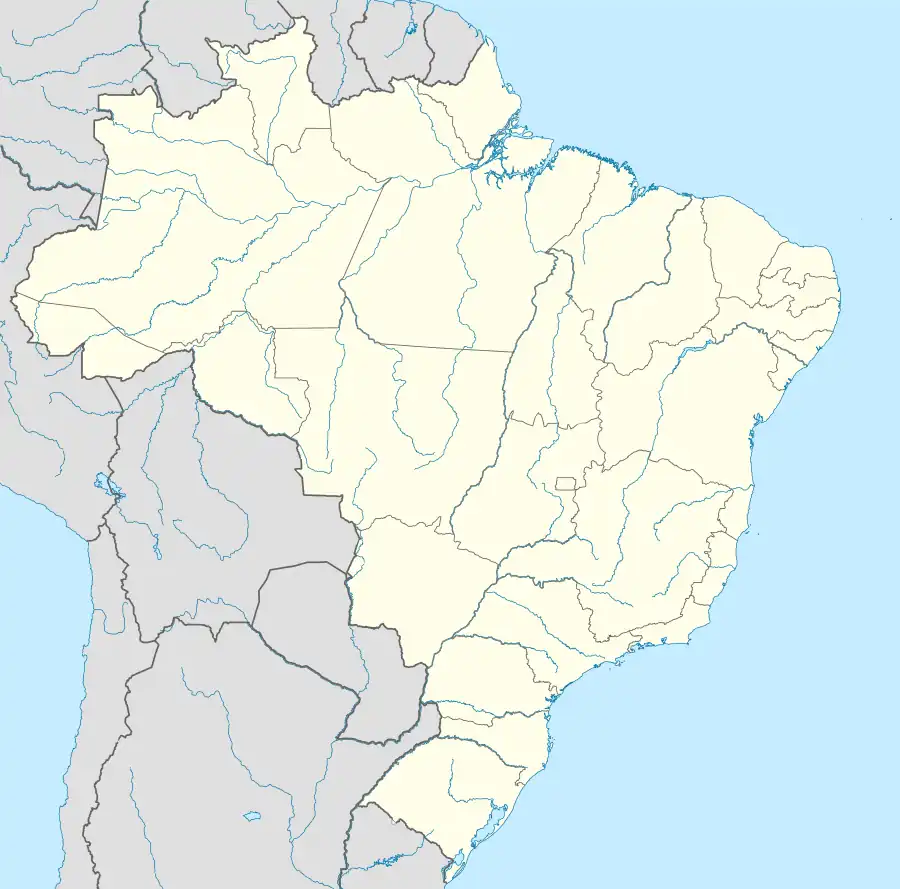 Pedras Altas Location in Brazil | |
| Coordinates: 31°43′58″S 53°35′02″W / 31.73278°S 53.58389°W | |
| Country | |
| State | Rio Grande do Sul |
| Mesoregion | Sudeste Rio-grandense |
| Microregion | Jaguarão |
| Founded | 16 April 1996 |
| Government | |
| • Mayor | Gabriel de Léllis Junior |
| Area | |
| • Total | 1,377.37 km2 (531.81 sq mi) |
| Elevation | 375 m (1,230 ft) |
| Population (2020 [1]) | |
| • Total | 1,954 |
| • Density | 1.4/km2 (3.7/sq mi) |
| Time zone | UTC−3 (BRT) |
| Website | pedrasaltas.rs.gov.br |
Pedras Altas (Portuguese meaning "High Rocks") is a Brazilian municipality in the southern part of the state of Rio Grande do Sul. The population is 1,954 (2020 est.) in an area of 1377.37 km2.[2] The Jaguarão River, which forms the border with Uruguay here, flows along the southwestern part of the municipality.
Bounding municipalities
References
External links
- Official website
- http://www.citybrazil.com.br/rs/pedrasaltas/ (in Portuguese)

This article is issued from Wikipedia. The text is licensed under Creative Commons - Attribution - Sharealike. Additional terms may apply for the media files.