Obornjača
| |
|---|---|
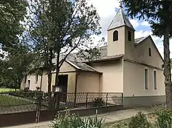 Place of worship | |
 Obornjača Location of Obornjača within Serbia  Obornjača Obornjača (Serbia) 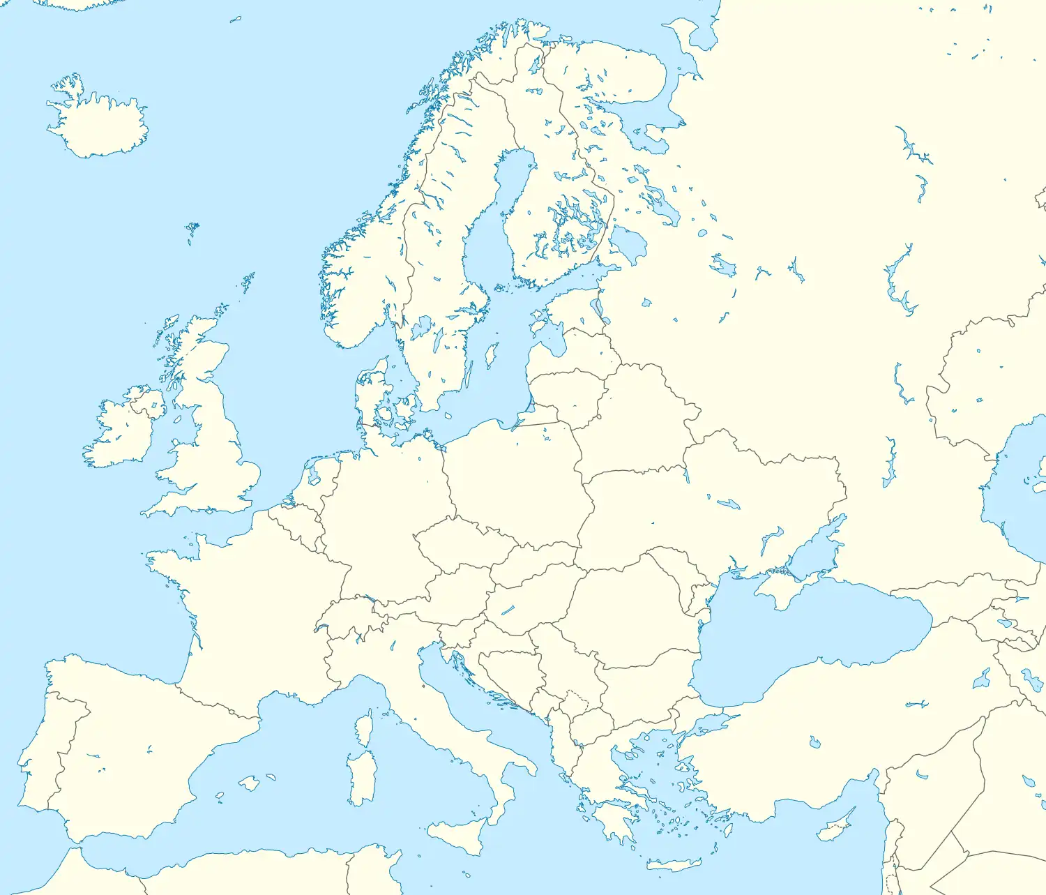 Obornjača Obornjača (Europe) | |
| Coordinates: 45°46′13″N 19°53′17″E / 45.77028°N 19.88806°E | |
| Country | Serbia |
| Province | Vojvodina |
| District | North Banat |
| Elevation | 108 m (354 ft) |
| Population (2002) | |
| • Obornjača | 389 |
| Time zone | UTC+1 (CET) |
| • Summer (DST) | UTC+2 (CEST) |
| Area code | +381(0)24 |
| Car plates | SA |
Obornjača (Serbian Cyrillic: Оборњача, Hungarian: Völgypart) is a village in Serbia. It is situated in the Ada municipality, in the North Banat District, Vojvodina province. The village has a Hungarian ethnic majority (93.31%) and it has a population of 389 people (2002 census).
See also
External links
This article is issued from Wikipedia. The text is licensed under Creative Commons - Attribution - Sharealike. Additional terms may apply for the media files.