Nejjo Airport Nedjo, Nejo | |||||||||||
|---|---|---|---|---|---|---|---|---|---|---|---|
| Summary | |||||||||||
| Airport type | Public | ||||||||||
| Serves | Nejo | ||||||||||
| Elevation AMSL | 6,150 ft / 1,875 m | ||||||||||
| Coordinates | 9°31′20″N 35°29′45″E / 9.52222°N 35.49583°E | ||||||||||
| Map | |||||||||||
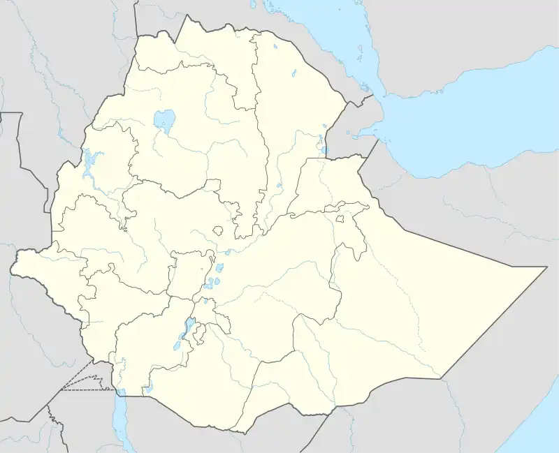 NEJ Location of the airport in Ethiopia | |||||||||||
| Runways | |||||||||||
| |||||||||||
Source: Google Maps[1] | |||||||||||
Nejjo Airport (IATA: NEJ, ICAO: HANJ) is an airstrip serving the town of Nejo in western Ethiopia. The runway boundaries are unmarked and poorly defined.
See also
References
- OurAirports - Ethiopia
- Great Circle Mapper - Nejjo
- Nejjo
- Google Earth
This article is issued from Wikipedia. The text is licensed under Creative Commons - Attribution - Sharealike. Additional terms may apply for the media files.