| Mount Sir Allan MacNab | |
|---|---|
| Mount MacNab | |
 Mt. Sir Allan MacNab | |
| Highest point | |
| Elevation | 2,297 m (7,536 ft)[1] |
| Prominence | 367 m (1,204 ft)[1] |
| Listing | Mountains of British Columbia |
| Coordinates | 52°31′14″N 119°12′13″W / 52.52056°N 119.20361°W[2] |
| Geography | |
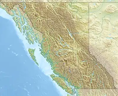
| Location | British Columbia, Canada |
| District | Kamloops Division Yale Land District |
| Parent range | Premier Range |
| Topo map | NTS 83D11 Canoe Mountain[2] |
Mount Sir Allan MacNab is a mountain located in the Premier Range of British Columbia, Canada. The range is named for Sir Allan MacNab, a Canadian industrialist who was premier of the Province of Canada from 1854 to 1856.[2]
References
- 1 2 "Mount Sir Allan MacNab". Bivouac.com. Retrieved 2020-01-04.
- 1 2 3 "Mount Sir Allan MacNab". BC Geographical Names. Retrieved 2020-01-04.
This article is issued from Wikipedia. The text is licensed under Creative Commons - Attribution - Sharealike. Additional terms may apply for the media files.