| Mount Leman | |
|---|---|
 Mount Leman Location in Alberta and British Columbia 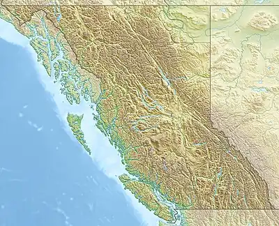 Mount Leman Mount Leman (British Columbia) | |
| Highest point | |
| Elevation | 2,730 m (8,960 ft)[1][2] |
| Prominence | 144 m (472 ft)[3] |
| Parent peak | Mount King Albert (2972 m)[3] |
| Listing | |
| Coordinates | 50°44′02″N 115°24′48″W / 50.73389°N 115.41333°W[4] |
| Geography | |
| Country | Canada |
| Provinces | Alberta and British Columbia |
| Parent range | Park Ranges |
| Topo map | NTS 82J11 Kananaskis Lakes[4] |
Mount Leman is located on the border of Alberta and British Columbia. It was named in 1918 after Gérard Leman, a Belgian General who led the defensive forces in the Battle of Liège during World War I. He was captured by German forces and held as a prisoner of war until 1917.[5][6][2]
See also
References
- ↑ "Topographic map of Mount Leman". opentopomap.org. Retrieved 2022-07-04.
- 1 2 "Mount Leman". cdnrockiesdatabases.ca. Retrieved 2022-07-04.
- 1 2 "Mount Leman". Bivouac.com. Retrieved 2022-07-04.
- 1 2 "Mount Leman (Alberta)". Geographical Names Data Base. Natural Resources Canada. Retrieved 2022-07-04.
- ↑ "Mount Leman". BC Geographical Names. Retrieved 2022-07-04.
- ↑ Baker, Chris (2009). "Brave Little Belgium". firstworldwar.com. Retrieved 2022-07-04.
This article is issued from Wikipedia. The text is licensed under Creative Commons - Attribution - Sharealike. Additional terms may apply for the media files.