| Mount Kendang | |
|---|---|
| Highest point | |
| Elevation | 2,608 m (8,556 ft)[1] |
| Coordinates | 7°14′S 107°42′E / 7.24°S 107.70°E |
| Geography | |
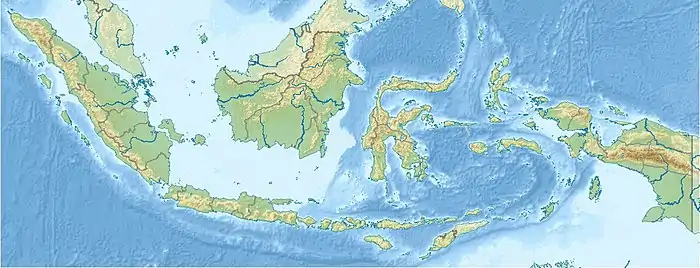
| Location | Java, Indonesia |
| Geology | |
| Age of rock | Quaternary |
| Mountain type | Stratovolcano |
| Last eruption | Unknown |

Mount Kendang is a stratovolcano located in the border between Kertasari Subdistrict, Bandung Regency and Pasirwangi Subdistrict, Garut Regency, West Java, Indonesia. It contains four fumarole fields including Kawah Manuk, a broad, 2.75 km wide crater. Sulfur sublimation, mud pots and hot springs are found in the volcano.[1]
See also
References
- 1 2 "Kendang". Global Volcanism Program. Smithsonian Institution. Retrieved 2006-12-21.
This article is issued from Wikipedia. The text is licensed under Creative Commons - Attribution - Sharealike. Additional terms may apply for the media files.