Moralzarzal | |
|---|---|
 Coat of arms | |
_mapa.svg.png.webp) | |
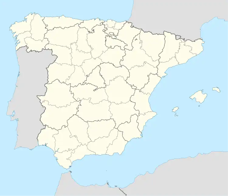 Moralzarzal Location in Spain | |
| Coordinates: 40°40′30″N 3°58′10″W / 40.67500°N 3.96944°W | |
| Country | |
| Autonomous community | |
| Province | Madrid |
| Government | |
| • Alcalde | José María Moreno Martín (2007) (PP) |
| Area | |
| • Total | 42.6 km2 (16.4 sq mi) |
| Elevation | 979 m (3,212 ft) |
| Population (2018)[1] | |
| • Total | 12,697 |
| • Density | 300/km2 (770/sq mi) |
| Demonym | cebollero/a |
| Time zone | UTC+1 (CET) |
| • Summer (DST) | UTC+2 (CEST) |
| Postal code | 28411 |
| Website | Official website |
Moralzarzal is a town in Spain. It is located in the Sierra de Guadarrama, in the Community of Madrid. It had a population of 11,318 in 2008.
Public Transport
Moralzarzal has a big bus network. The bus lines going through Moralzarzal are the following:
- 670: Collado Villalba (Hospital)
- 672: Madrid (Moncloa) - Cerceda (by Mataelpino)
- 672A: Madrid (Moncloa) - Cerceda
- 720: Colmenar Viejo - Collado Villalba
- 876: Collado Villalba - Cerceda - Madrid (Plaza de Castilla)
- Night bus line 603: Moralzarzal - Villalba - Madrid (Moncloa)
References
- ↑ Municipal Register of Spain 2018. National Statistics Institute.
External links
- The official site of the city (in Spanish)
This article is issued from Wikipedia. The text is licensed under Creative Commons - Attribution - Sharealike. Additional terms may apply for the media files.