Mihona | |
|---|---|
city | |
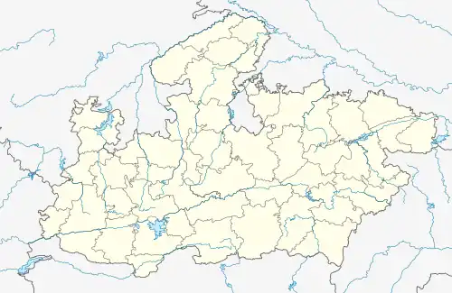 Mihona Location in Madhya Pradesh, India 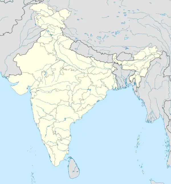 Mihona Mihona (India) | |
| Coordinates: 26°17′N 78°59′E / 26.28°N 78.98°E | |
| Country | |
| State | Madhya Pradesh |
| District | Bhind |
| Elevation | 154 m (505 ft) |
| Population (2001) | |
| • Total | 14,799 |
| Languages | |
| • Official | Hindi |
| Time zone | UTC+5:30 (IST) |
| ISO 3166 code | IN-MP |
| Vehicle registration | MP-30 |
Mihona is a town and a Nagar Panchayat in Bhind district in the Indian state of Madhya Pradesh.
Geography
Mihona is located at 26°17′N 78°59′E / 26.28°N 78.98°E.[1] It has an average elevation of 154 metres (505 feet).
Demographics
As of 2001 India census,[2] Mihona had a population of 14,799. Males constitute 53% of the population and females 47%. Mihona has an average literacy rate of 65%, higher than the national average of 59.5%: male literacy is 74%, and female literacy is 55%. In Mihona, 15% of the population is under 6 years of age.
Administration
The civic administration of the town is managed by the Mihona Nagar Panchayat and the town is divided into 15 wards.[3]
References
- ↑ Falling Rain Genomics, Inc - Mihona
- ↑ "Census of India 2001: Data from the 2001 Census, including cities, villages and towns (Provisional)". Census Commission of India. Archived from the original on 16 June 2004. Retrieved 1 November 2008.
- ↑ List of candidates contested in the Mihona Nagar Panchayat Chairman election (in Hindi)
This article is issued from Wikipedia. The text is licensed under Creative Commons - Attribution - Sharealike. Additional terms may apply for the media files.