| Loi Hkilek | |
|---|---|
| Loi Kyi-lek | |
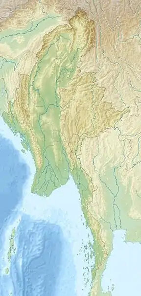 Loi Hkilek Location in Burma | |
| Highest point | |
| Elevation | 1,973 m (6,473 ft)[1] |
| Listing | List of mountains in Burma |
| Coordinates | 20°2′32″N 98°49′19″E / 20.04222°N 98.82194°E[1] |
| Geography | |
| Location | Shan State, Myanmar |
| Parent range | Shan Hills |
| Climbing | |
| First ascent | unknown |
| Easiest route | climb |
Loi Hkilek or Loi Kyi-lek is a mountain of the Shan Hills, in Shan State, Burma.[1]
Geography
Loi Hkilek is located about 11 km to the northeast of Möng Kyawt (Mongkyawt) in Mong Ton Township of Mongsat District.[2] Although this mountain is mentioned in the Imperial Gazetteer of India as "a 2,133 high mountain located in Mongkyawt District",[3] its actual elevation is 1,973 m.[1]
See also
References
- 1 2 3 4 GoogleEarth
- ↑ "Loi Kyi-lek". Mapcarta. Retrieved 26 May 2016.
- ↑ Imperial Gazetteer of India, v. 17, p. 407
External links
This article is issued from Wikipedia. The text is licensed under Creative Commons - Attribution - Sharealike. Additional terms may apply for the media files.