| Kumealon Inlet | |
|---|---|
 | |
 Kumealon Inlet | |
| Location | British Columbia |
| Coordinates | 53°51′39″N 129°59′33″W / 53.86083°N 129.99250°W |
| Type | Fjord |
| Primary outflows | Grenville Channel |
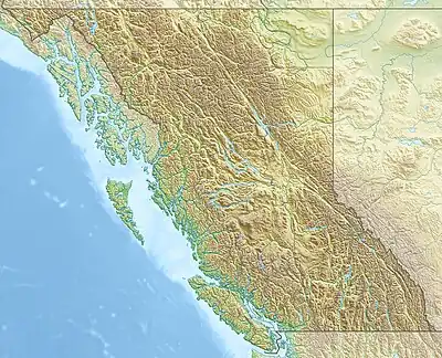
Kumealon Inlet is an inlet on the Coast of British Columbia, Canada. It lies on the eastern side of the north end of Grenville Channel facing Pitt Island.[1]
Kumealon Inlet sits between the Ecstall Pluton and the Grenville Channel shear zone, and is bounded by rocks dating to the Albian (102.6±3.7Ma).[2]
Features
Connected features to the inlet are:
- Kumealon Island, located on the north side of the entrance to the inlet at 53°51′24″N 130°01′29″W / 53.85667°N 130.02472°W [3]
- Kumealon Lagoon, a small arm on the north side of the inlet at 53°53′03″N 129°59′20″W / 53.88417°N 129.98889°W,[4] connected to it via:
- Kumealon Narrows, a short narrows at 53°52′25″N 129°59′11″W / 53.87361°N 129.98639°W [5]
- Kumealon Creek, a short creek which feeds northwest into Kumealon Lagoon, entering it at 53°52′41″N 129°58′02″W / 53.87806°N 129.96722°W[6]
Images
Wikimedia Commons has media related to Kumealon Inlet.
 Looking westward from the head of Kumealon Inlet towards the entrance
 Kumealon Island
 Looking westward along Kumealon Inlet in the morning
See also
References
- ↑ BC Names/GeoBC entry "Kumealon Inlet"
- ↑ Wolf D, Andronicos C, Vervoort J, Mansfield M, Chardon D (2010). "Application of Lu–Hf garnet dating to unravel the relationships between deformation, metamorphism and plutonism: An example from the Prince Rupert area, British Columbia". Tectonophysics. 485 (2010): 62–77. Bibcode:2010Tectp.485...62W. doi:10.1016/J.TECTO.2009.11.020.
- ↑ BC Names/GeoBC entry "Kumealon Island"
- ↑ BC Names/GeoBC entry "Kumealon Lagoon"
- ↑ BC Names/GeoBC entry "Kumealon Narrows"
- ↑ BC Names/GeoBC entry "Kumealon Creek"
This article is issued from Wikipedia. The text is licensed under Creative Commons - Attribution - Sharealike. Additional terms may apply for the media files.