Khurai | |
|---|---|
Village | |
 Khurai Location in Madhya Pradesh, India 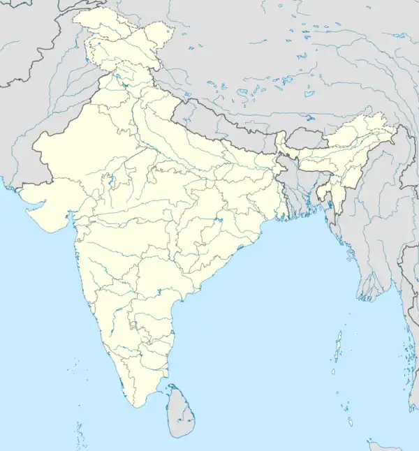 Khurai Khurai (India) | |
| Coordinates: 24°03′N 78°19′E / 24.05°N 78.32°E | |
| Country | |
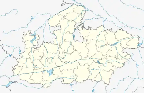
| State | Madhya Pradesh |
| District | Sagar District |
| Founded | 1893 |
| ratan s | Khurai |
| Government | |
| • Mayor | Dr. Subrota Das |
| • Member of Legislative Assembly | Mr. Bhupendra Singh Thakur |
| • Commissioner | P.S Khan |
| Area | |
| • Total | 126.77 km2 (48.95 sq mi) |
| Elevation | 421 m (1,381 ft) |
| Population (2011) | |
| • Total | 51,000 |
| • Rank | 993 |
| • Density | 24/km2 (60/sq mi) |
| Languages | |
| • Official | Hindi, Bundelkhandi, Udru, English |
| Time zone | UTC+5:30 (IST) |
| PIN | 470117 |
| Telephone code | 91-7581 |
| ISO 3166 code | IN-MP |
| Vehicle registration | MP 15 |
| Coastline | 0 kilometres (0 mi) |
| Nearest city | Bina Junction, India |
| Distance from Delhi | 949 kilometres (590 mi) S |
| Distance from Mumbai | 1,089 kilometres (677 mi) NE |
| Distance from Kolkata | 1,921 kilometres (1,194 mi) W |
| Distance from Chennai | 2,418 kilometres (1,502 mi) N |
| Climate | AW (Köppen) |
| Precipitation | 231 millimetres (9.1 in) |
| Avg. annual temperature | 24.03 °C (75.25 °F) |
| Avg. summer temperature | 42.33 °C (108.19 °F) |
| Avg. winter temperature | 01.77 °C (35.19 °F) |
Khurai is a town in Sagar District and a municipality in the Indian state of Madhya Pradesh. It is located in the northeastern region of Madhya Pradesh.
Climate
Khurai has a mainly moderate climate. From October to February the temperature is between 12 °C (54 °F) to 27 °C (81 °F); from March to June temperatures range from 35 °C (95 °F) to 48 °C (118 °F). The average rainfall is about 200 cm (79 in). Winters are moderately cool and summers are hot. Monsoon season lasts from June through August.
| Khurai | ||||||||||||||||||||||||||||||||||||||||||||||||||||||||||||
|---|---|---|---|---|---|---|---|---|---|---|---|---|---|---|---|---|---|---|---|---|---|---|---|---|---|---|---|---|---|---|---|---|---|---|---|---|---|---|---|---|---|---|---|---|---|---|---|---|---|---|---|---|---|---|---|---|---|---|---|---|
| Climate chart (explanation) | ||||||||||||||||||||||||||||||||||||||||||||||||||||||||||||
| ||||||||||||||||||||||||||||||||||||||||||||||||||||||||||||
| ||||||||||||||||||||||||||||||||||||||||||||||||||||||||||||
Demographics
As of the 2011 census of India,[1] Khurai has a population of 51,108. Males constitute 53% of the population and females 47%. Khurai has an average literacy rate of 80.8%, higher than the national average of 59.5%.
Economy
The main business in the Khurai region is agriculture. The main crops grown there are wheat (sharbati), soybean and gram. The city is a hub for the manufacturing of agricultural equipment such as threshers, cultivators, ploughs, seed drills and trollies.
A hospital, round-the-clock mobile medical vehicle, a national level auditorium, badminton court and gym have been set up in the area by the state government.[2]
Localities and suburbs
See Also
- Barodiya
- Bandri
References
- ↑ "Census of India 2001: Data from the 2001 Census, including cities, villages and towns (Provisional)". Census Commission of India. Archived from the original on 16 June 2004. Retrieved 1 November 2008.
- ↑ "Model of development in backward MP area". thestatesman.com. Retrieved 17 October 2018.