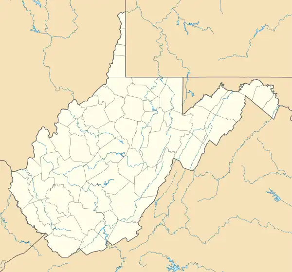
Justice Addition, West Virginia | |
|---|---|
 Justice Addition  Justice Addition | |
| Coordinates: 37°53′33″N 81°59′34″W / 37.89250°N 81.99278°W | |
| Country | United States |
| State | West Virginia |
| County | Logan |
| Area | |
| • Total | 0.12 sq mi (0.32 km2) |
| • Land | 0.12 sq mi (0.30 km2) |
| • Water | 0.008 sq mi (0.02 km2) |
| Elevation | 669 ft (204 m) |
| Population (2020) | |
| • Total | 331 |
| Time zone | UTC-5 (Eastern (EST)) |
| • Summer (DST) | UTC-4 (EDT) |
| ZIP code | 25601 (Logan) |
| GNIS ID | 1554838[2] |
| Website | FIPS code |
| 54-42316 | |
Justice Addition is an unincorporated community and census-designated place (CDP) in Logan County, West Virginia, United States. The community was first listed as a CDP prior to the 2020 census. The population was 331 at the 2020 census.
Geography
Justice Addition is in north-central Logan County along West Virginia Route 10, 3 miles (5 km) north of Logan, the county seat, and 8 miles (13 km) south of Chapmanville. The CDP sits on the west bank of the Guyandotte River, a north-flowing tributary of the Ohio River. The community of Henlawson borders Justice Addition to the northeast, across the Guyandotte.
According to the U.S. Census Bureau, the Justice Addition CDP has a total area of 0.12 square miles (0.32 km2), of which 0.01 square miles (0.02 km2), or 6.43%, are water.[1]
References
- 1 2 "2020 U.S. Gazetteer Files – West Virginia". United States Census Bureau. Retrieved March 15, 2021.
- ↑ U.S. Geological Survey Geographic Names Information System: Justice Addition, West Virginia
