Ham-sur-Heure-Nalinnes
| |
|---|---|
 | |
 Flag  Coat of arms | |
Location of Ham-sur-Heure-Nalinnes | |
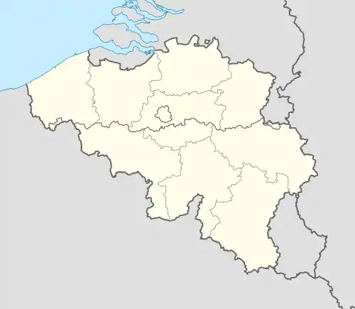 Ham-sur-Heure-Nalinnes Location in Belgium
Location of Ham-sur-Heure-Nalinnes in Hainaut  | |
| Coordinates: 50°19′N 04°23′E / 50.317°N 4.383°E | |
| Country | |
| Community | French Community |
| Region | Wallonia |
| Province | Hainaut |
| Arrondissement | Thuin |
| Government | |
| • Mayor | Yves Binon (MR) |
| • Governing party/ies | MR, CDH |
| Area | |
| • Total | 45.71 km2 (17.65 sq mi) |
| Population (2018-01-01)[1] | |
| • Total | 13,529 |
| • Density | 300/km2 (770/sq mi) |
| Postal codes | 6120 |
| NIS code | 56086 |
| Area codes | 071 |
| Website | www.ham-sur-heure-nalinnes.be |
Ham-sur-Heure-Nalinnes (French pronunciation: [am syʁ œʁ nalin]; Walloon: Han-so-Eure-Nålene) is a municipality of Wallonia located in the province of Hainaut, Belgium.
On January 1, 2018, Ham-sur-Heure-Nalinnes had a total population of 13,529. The land area is 45.68 km2 (18 sq mi), which gives a population density of 293 inhabitants per km².
The municipality consists of the following districts: Cour-sur-Heure (Walloon: Cour), Ham-sur-Heure (Han-so-Eure), Jamioulx (Djanmioû), Marbaix-la-Tour (Marbwê) and Nalinnes (Nålene).

References
- ↑ "Wettelijke Bevolking per gemeente op 1 januari 2018". Statbel. Retrieved 9 March 2019.
External links
 Media related to Ham-sur-Heure-Nalinnes at Wikimedia Commons
- (in French) Official site of the municipality of Ham-sur-Heure-Nalinnes
Places adjacent to Ham-sur-Heure-Nalinnes | |
|---|---|
| Ath |  | |
|---|---|---|
| Charleroi | ||
| La Louvière | ||
| Mons | ||
| Soignies | ||
| Thuin | ||
| Tournai-Mouscron | ||
| ||
This article is issued from Wikipedia. The text is licensed under Creative Commons - Attribution - Sharealike. Additional terms may apply for the media files.