Hatane
Hatne | |
|---|---|
village | |
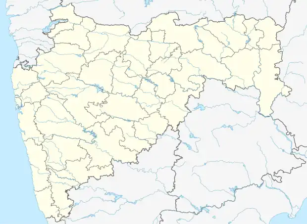 Hatane Location in Maharashtra, India  Hatane Hatane (India) | |
| Coordinates: 19°45′17″N 73°02′58″E / 19.7547243°N 73.0493825°E | |
| Country | India |
| State | Maharashtra |
| District | Palghar |
| Taluka | Vikramgad |
| Elevation | 46 m (151 ft) |
| Population (2011) | |
| • Total | 661 |
| Time zone | UTC+5:30 (IST) |
| 2011 census code | 551815 |
Hatane or Hatne is a village in the Palghar district of Maharashtra, India. It is located in the Vikramgad taluka.[1]
Demographics
According to the 2011 census of India, Hatane has 145 households. The effective literacy rate (i.e. the literacy rate of population excluding children aged 6 and below) is 70.45%.[2]
| Total | Male | Female | |
|---|---|---|---|
| Population | 661 | 343 | 318 |
| Children aged below 6 years | 106 | 55 | 51 |
| Scheduled caste | 2 | 1 | 1 |
| Scheduled tribe | 511 | 251 | 260 |
| Literates | 391 | 231 | 160 |
| Workers (all) | 409 | 216 | 193 |
| Main workers (total) | 144 | 84 | 60 |
| Main workers: Cultivators | 46 | 26 | 20 |
| Main workers: Agricultural labourers | 26 | 10 | 16 |
| Main workers: Household industry workers | 0 | 0 | 0 |
| Main workers: Other | 72 | 48 | 24 |
| Marginal workers (total) | 265 | 132 | 133 |
| Marginal workers: Cultivators | 62 | 43 | 19 |
| Marginal workers: Agricultural labourers | 102 | 30 | 72 |
| Marginal workers: Household industry workers | 1 | 1 | 0 |
| Marginal workers: Others | 100 | 58 | 42 |
| Non-workers | 252 | 127 | 125 |
References
- ↑ "Maharashtra villages" (PDF). Land Records Information Systems Division, NIC. Archived from the original (PDF) on 4 March 2016. Retrieved 17 August 2015.
- 1 2 "District census data". 2011 Census of India. Directorate of Census Operations. Retrieved 17 August 2015.
This article is issued from Wikipedia. The text is licensed under Creative Commons - Attribution - Sharealike. Additional terms may apply for the media files.