Guachinango | |
|---|---|
Municipality and town | |
 Location of the municipality in Jalisco | |
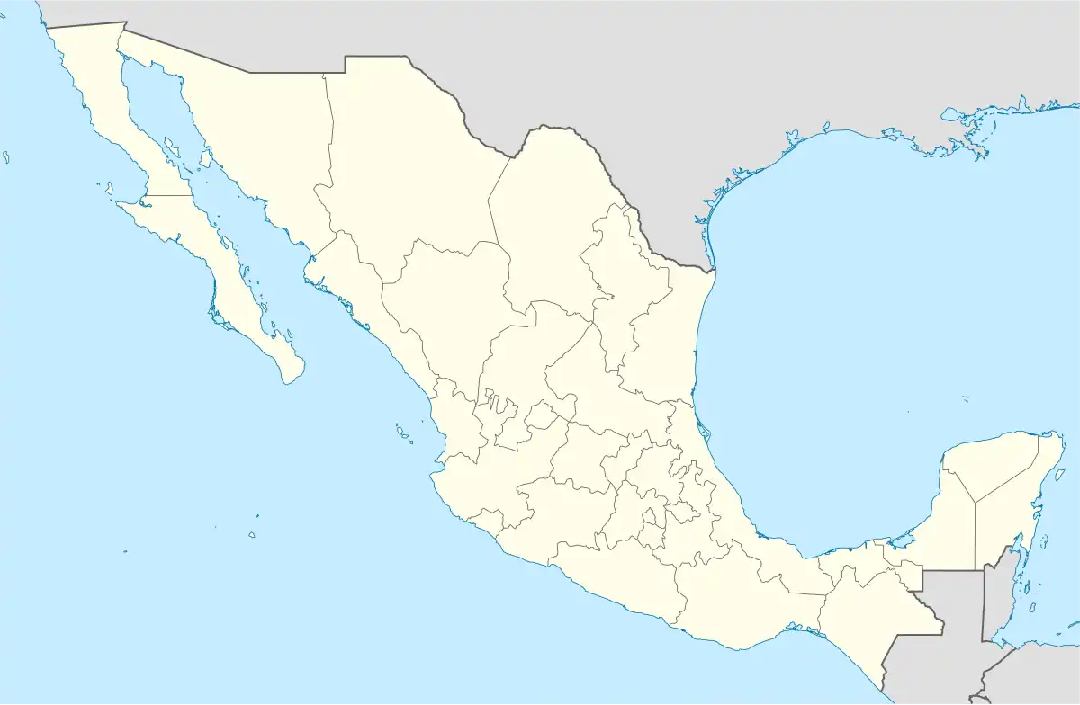 Guachinango Location in Mexico | |
| Coordinates: 20°46′N 104°05′W / 20.767°N 104.083°W | |
| Country | |
| State | Jalisco |
| Area | |
| • Total | 837.7 km2 (323.4 sq mi) |
| • Town | 1.25 km2 (0.48 sq mi) |
| Population (2020 census)[1] | |
| • Total | 4,199 |
| • Density | 5.0/km2 (13/sq mi) |
| • Town | 2,124 |
| • Town density | 1,700/km2 (4,400/sq mi) |
Guachinango (Spanish pronunciation: [ɡwatʃiˈnaŋɡo]) is a town and municipality, in Jalisco in central-western Mexico. The municipality covers an area of 837.7 km².
As of 2005, the municipality had a total population of 4,138.[2]
The Spanish discovered gold lodes here in the 1540s, which started commercial gold mining in the area.[3]
References
- ↑ Citypopulation.de Population of Guachinango municipality with localities
- ↑ "Guachinango". Enciclopedia de los Municipios de México. Instituto Nacional para el Federalismo y el Desarrollo Municipal. Archived from the original on May 31, 2007. Retrieved April 13, 2009.
- ↑ West,Robert. Early Silver Mining in New Spain, 1531-1555 (1997). Bakewell, Peter (ed.). Mines of Silver and Gold in the Americas. Aldershot: Variorum, Ashgate Publishing Limited. p. 58.
{{cite book}}: CS1 maint: multiple names: authors list (link) CS1 maint: numeric names: authors list (link)

20°34′01″N 104°22′01″W / 20.567°N 104.367°W
This article is issued from Wikipedia. The text is licensed under Creative Commons - Attribution - Sharealike. Additional terms may apply for the media files.