Fexhe-le-Haut-Clocher
| |
|---|---|
 | |
 Flag  Coat of arms | |
Location of Fexhe-le-Haut-Clocher | |
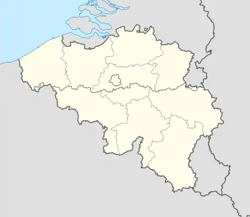 Fexhe-le-Haut-Clocher Location in Belgium
Location of Fexhe-le-Haut-Clocher in the province of Liège  | |
| Coordinates: 50°40′N 05°24′E / 50.667°N 5.400°E | |
| Country | |
| Community | French Community |
| Region | Wallonia |
| Province | Liège |
| Arrondissement | Waremme |
| Government | |
| • Mayor | Henri Christophe |
| • Governing party/ies | Liste Mayeur |
| Area | |
| • Total | 19.45 km2 (7.51 sq mi) |
| Population (2018-01-01)[1] | |
| • Total | 3,263 |
| • Density | 170/km2 (430/sq mi) |
| Postal codes | 4347 |
| NIS code | 64025 |
| Area codes | 04 |
| Website | www.fexhe-le-haut-clocher.be |
Fexhe-le-Haut-Clocher (French pronunciation: [fɛks lə o klɔʃe]; Walloon: Fexhe-å-Hôt-Clokî) is a municipality of Wallonia located in the province of Liège, Belgium.
On January 1, 2006, Fexhe-le-Haut-Clocher had a total population of 3,019. The total area is 19.25 km² which gives a population density of 157 inhabitants per km².
The municipality consists of the following districts: Fexhe-le-Haut-Clocher, Freloux, Noville, Roloux, and Voroux-Goreux.
See also
References
- ↑ "Wettelijke Bevolking per gemeente op 1 januari 2018". Statbel. Retrieved 9 March 2019.
External links
 Media related to Fexhe-le-Haut-Clocher at Wikimedia Commons
Places adjacent to Fexhe-le-Haut-Clocher | ||||||||||||||||
|---|---|---|---|---|---|---|---|---|---|---|---|---|---|---|---|---|
| ||||||||||||||||
Municipalities in the province of Liège, Wallonia | ||
|---|---|---|
| Huy |  | |
| Liège | ||
| Verviers | ||
| Waremme | ||
| ||
This article is issued from Wikipedia. The text is licensed under Creative Commons - Attribution - Sharealike. Additional terms may apply for the media files.