Donetskyi
Донецький | |
|---|---|
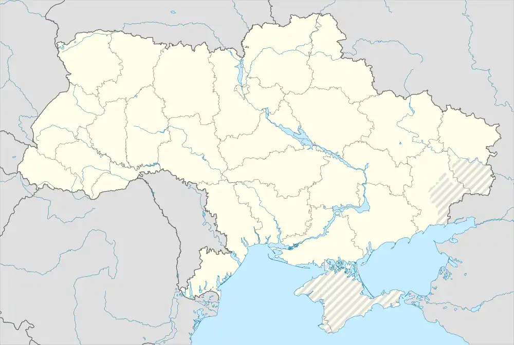 Donetskyi Location of Donetskyi within Ukraine  Donetskyi Donetskyi (Luhansk Oblast) | |
| Coordinates: 48°42′00″N 38°40′23″E / 48.7°N 38.673056°E | |
| Country | |
| Oblast | |
| Founded | 1904 |
| Status | 1963 |
| Area | |
| • Total | 5.35 km2 (2.07 sq mi) |
| Elevation | 158 m (518 ft) |
| Population (2022) | |
| • Total | 3,490 |
| • Density | 650/km2 (1,700/sq mi) |
| Time zone | UTC+2 (EET) |
| • Summer (DST) | UTC+3 (EEST) |
| Postal code | 93890 |
| Area code | +380 6446 |
Donetskyi (Ukrainian: Донецький; Russian: Донецкий) is an urban-type settlement in Luhansk Oblast of eastern Ukraine, at about 50 km WNW from the centre of Luhansk city, on the right bank of the Luhan. Population: 3,490 (2022 estimate).[1]
It is part of the Kirovsk Municipality.
References
- ↑ Чисельність наявного населення України на 1 січня 2022 [Number of Present Population of Ukraine, as of January 1, 2022] (PDF) (in Ukrainian and English). Kyiv: State Statistics Service of Ukraine. Archived (PDF) from the original on 4 July 2022.
This article is issued from Wikipedia. The text is licensed under Creative Commons - Attribution - Sharealike. Additional terms may apply for the media files.