| Cam Beck | |
|---|---|
.jpg.webp) Cam Beck at Solmain | |
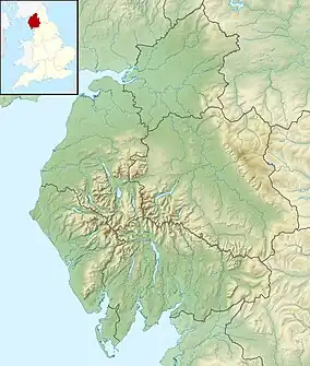 Location of the mouth within Cumbria | |
| Location | |
| Country | England |
| County | Cumbria |
| Physical characteristics | |
| Mouth | |
• location | River Irthing |
• coordinates | 54°57′17″N 2°46′00″W / 54.95464°N 2.766795°W |
| Length | 17.66 km (10.97 mi) |
| Basin size | 34.49 km2 (13.32 sq mi) |
Cam Beck is a stream in Cumbria. It runs for 10.9 miles (17.6 km) past Kirkambeck and Cambeck Hill and into the River Irthing.[1]
Toponymy
From the British cambaco meaning "crooked stream".
References
- ↑ "Cam Beck". Catchment Data Explorer. Environment Agency. Retrieved 20 October 2017.
This article is issued from Wikipedia. The text is licensed under Creative Commons - Attribution - Sharealike. Additional terms may apply for the media files.