Cabolafuente | |
|---|---|
 | |
.svg.png.webp) Flag .svg.png.webp) Coat of arms | |
 Cabolafuente 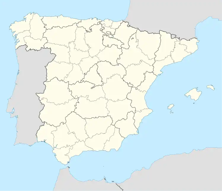 Cabolafuente  Cabolafuente | |
| Coordinates: 41°13′N 2°02′W / 41.217°N 2.033°W | |
| Country | |
| Autonomous community | |
| Province | Zaragoza |
| Municipality | Cabolafuente |
| Area | |
| • Total | 39.00 km2 (15.06 sq mi) |
| Elevation | 977 m (3,205 ft) |
| Population (2018)[1] | |
| • Total | 32 |
| • Density | 0.82/km2 (2.1/sq mi) |
| Time zone | UTC+1 (CET) |
| • Summer (DST) | UTC+2 (CEST) |
Cabolafuente is a municipality located in the province of Zaragoza, Aragon, Spain. According to the 2004 census (INE), the municipality has a population of 67 inhabitants.
References
- ↑ Municipal Register of Spain 2018. National Statistics Institute.
This article is issued from Wikipedia. The text is licensed under Creative Commons - Attribution - Sharealike. Additional terms may apply for the media files.