Bijoygarh
বিজয়গড় | |
|---|---|
Neighbourhood in Kolkata | |
 Bijoygarh Location in Kolkata 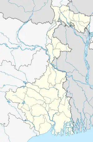 Bijoygarh Bijoygarh (West Bengal) | |
| Coordinates: 22°29′34″N 88°21′41″E / 22.49278°N 88.36139°E | |
| Country | India |
| State | West Bengal |
| City | Kolkata |
| District | Kolkata[1][2] |
| Region | Kolkata |
| Metro Station | Mahanayak Uttam Kumar |
| Kolkata Suburban Railway | Jadavpur Railway Station, Baghajatin Railway Station |
| Municipal Corporation | Kolkata Municipal Corporation |
| KMC ward | 95, 96, 98 |
| Government | |
| • Body | Borough No.10 , Kolkata Municipal Corporation |
| Elevation | 34 ft (10 m) |
| Time zone | UTC+5:30 (IST) |
| PIN | 700 032 , 700 092 |
| Area code | +91 33 |
| Lok Sabha constituency | Jadavpur |
| Vidhan Sabha constituency | Jadavpur And Tollyganj |
Bijoygarh is a neighbourhood located of the southern part of Kolkata, in West Bengal, India. The neighbourhood shares its boundary with Jadavpur, Baghajatin, Bikramgarh, Regent Estate and Ranikuthi ,
Although It Is Merged With Kolkata, It Still Partially Remain Under The South 24 Parganas Jurisdiction.
It Has 3 Schools, 1 College And 3 Health Care Centre. Bijoygarh State General Hospital Is The 5th Largest Hospital In The South 24 Parganas District. It Also Falls Under District Magistrates, South 24 Parganas .
This Area Is Served By Jadavpur Police Station Of Kolkata police And Patuli Women Police Station .
Bijoygarh Was Merged With The City Of Kolkata Along With Bapuji Nagar, Golf Green, Dhakuria, Selimpur, Garia on 23 July 2013 .
Bijoygarh Area Has Been Considered Busy Area By Kolkata Police And It Is Very Close To Garia and Rajpur-Sonarpur Which Is Also A City In South 24 Parganas
References
- ↑ "South 24 Parganas district".
- ↑ "Electors Details As On 30-10-2010" (PDF). Archived from the original (PDF) on 29 May 2013.
| KMC | |
|---|---|
| KMDA | |
| |