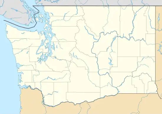
Bayne, Washington | |
|---|---|
 Bayne  Bayne | |
| Coordinates: 47°14′42″N 121°54′34″W / 47.24500°N 121.90944°W | |
| Country | United States |
| State | Washington |
| County | King |
| Elevation | 879 ft (268 m) |
| Time zone | UTC-8 (Pacific (PST)) |
| • Summer (DST) | UTC-7 (PDT) |
| ZIP codes | 98022 |
| GNIS feature ID | 1516203[1] |
Bayne was an unincorporated community in King County, Washington. It was a coal mining town that was abandoned in the years after the mine closed around 1950.[2]
References
- ↑ "Bayne". Geographic Names Information System. United States Geological Survey, United States Department of the Interior.
- ↑ "Bayne: A King County Coal Mining Town". www.historylink.org. Retrieved May 15, 2019.
This article is issued from Wikipedia. The text is licensed under Creative Commons - Attribution - Sharealike. Additional terms may apply for the media files.
