Barbadás | |
|---|---|
Municipality | |
 Town hall | |
 Coat of arms | |
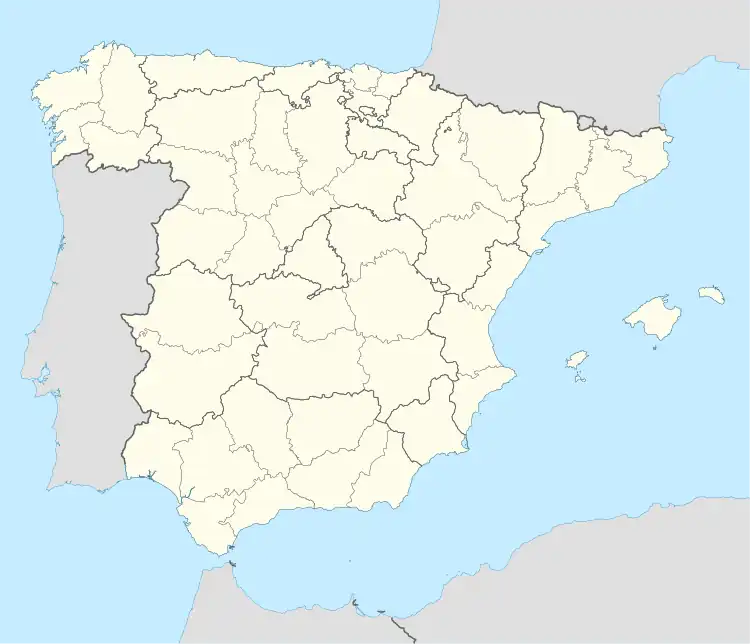 Barbadás Location in Spain  Barbadás Location in Galicia | |
| Coordinates: 42°18′1″N 7°54′23″W / 42.30028°N 7.90639°W | |
| Country | |
| Autonomous community | |
| Province | |
| Comarca | Ourense |
| Government | |
| • Mayor | José Manuel Freire Couto (PP) |
| Area | |
| • Total | 30 km2 (10 sq mi) |
| Elevation (AMSL) | 206 m (676 ft) |
| Population (2018)[2] | |
| • Total | 10,951 |
| • Density | 370/km2 (950/sq mi) |
| Time zone | UTC+1 (CET) |
| • Summer (DST) | UTC+2 (CEST (GMT +2)) |
| Postal code | 32890 |
| Area code | +34 (Spain) + 988 (Orense) |
| Website | www.barbadas.es |
Barbadás is a municipality in the province of Ourense in the Galicia region of north-west Spain. It is located towards the north-west of the province.
References
- ↑ "IGE. Táboas". www.ige.eu (in Galician). Retrieved 2017-10-07.
- ↑ Municipal Register of Spain 2018. National Statistics Institute.
42°18′01″N 7°54′23″W / 42.30028°N 7.90639°W
This article is issued from Wikipedia. The text is licensed under Creative Commons - Attribution - Sharealike. Additional terms may apply for the media files.