| Aiud Aiudul de Sus, Enyed-patak | |
|---|---|
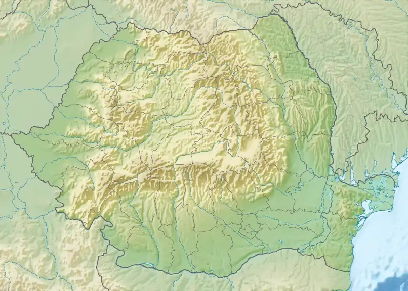
 The river Aiud in the city of Aiud | |
 | |
| Location | |
| Country | Romania |
| Counties | Alba County |
| Villages | Poiana Aiudului, Livezile, Aiudul de Sus, Aiud |
| Physical characteristics | |
| Mouth | Mureș |
• location | Aiud |
• coordinates | 46°19′07″N 23°44′50″E / 46.3187°N 23.7471°E |
| Length | 27 km (17 mi) |
| Basin size | 182 km2 (70 sq mi) |
| Basin features | |
| Progression | Mureș→ Tisza→ Danube→ Black Sea |
| Tributaries | |
| • left | Rachiș |
| • right | Izvoarele, Inzel, Neau |
The Aiud or Aiudul de Sus (Hungarian: Enyed-patak) is a left tributary of the river Mureș in Transylvania, Romania.[1][2] It discharges into the Mureș in Aiud.[3] The upper reach is also known as Siloș. Its length is 27 km (17 mi) and its basin size is 182 km2 (70 sq mi).[2]
References
- ↑ "Planul național de management. Sinteza planurilor de management la nivel de bazine/spații hidrografice, anexa 7.1" (PDF, 5.1 MB). Administrația Națională Apele Române. 2010. p. 334.
- 1 2 Atlasul cadastrului apelor din România. Partea 1 (in Romanian). Bucharest: Ministerul Mediului. 1992. p. 155. OCLC 895459847. River code: IV.1.90
- ↑ Aiud / Aiudul de Sus (jud. Alba), e-calauza.ro
This article is issued from Wikipedia. The text is licensed under Creative Commons - Attribution - Sharealike. Additional terms may apply for the media files.