Kapiniškiai | |
|---|---|
Village | |
 | |
 Kapiniškiai Location of Kapiniškiai | |
| Coordinates: 54°02′01″N 24°17′33″E / 54.03361°N 24.29250°E | |
| Country | |
| Ethnographic region | Dzūkija |
| County | |
| Municipality | Varėna district municipality |
| Eldership | Marcinkonys Eldership |
| Population (2021[1]) | |
| • Total | 16 |
| Time zone | UTC+2 (EET) |
| • Summer (DST) | UTC+3 (EEST) |

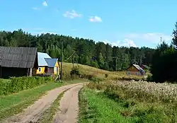
A wooden house in Kapiniškiai
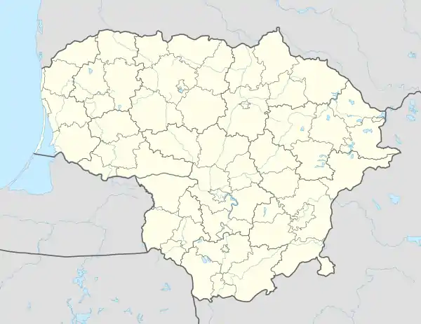
Kapiniškiai is an ethnographic village in Lithuania. It is located in the Dzūkija National Park south-west of Marcinkonys. According to the 2001 census, it had 54 residents.[2]
Kapiniškiai village is located c. 25 kilometres (16 mi) from Druskininkai, 10 kilometres (6.2 mi) from Marcinkonys, 2 kilometres (1.2 mi) from Margionys (the nearest settlement).
References
- ↑ "Rodiklių duomenų bazė - Oficialiosios statistikos portalas".
- ↑ Alytaus apskrities kaimo gyvenamosios vietovės ir jų gyventojai (PDF) (in Lithuanian). Vilnius: Department of Statistics to the Government of the Republic of Lithuania. 2002. p. 54. ISBN 9986-589-83-5. Archived from the original (PDF) on 2011-07-23.

This article is issued from Wikipedia. The text is licensed under Creative Commons - Attribution - Sharealike. Additional terms may apply for the media files.