Grigor'yevka
Григорьевка | |
|---|---|
_skyline.jpg.webp) | |
 Grigor'yevka | |
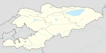
| Coordinates: 42°43′12″N 77°28′12″E / 42.72000°N 77.47000°E | |
| Country | Kyrgyzstan |
| Region | Issyk-Kul Region |
| District | Issyk-Kul District |
| Elevation | 1,780 m (5,840 ft) |
| Population (2023) | |
| • Total | 6,014 |
| Time zone | UTC+6 |
Grigor'yevka (Kyrgyz: Григорьевка) is a village in the Issyk-Kul Region of Kyrgyzstan. It is part of the Issyk-Kul District.[1] Its population was 5,891 in 2021.[2] Described as a 'pretty village', it is the start to treks up the 32km Chon Ak-Suu canyon. To the west on highway A363 is Bosteri, and to the east, Semyonovka.
Population
| Year | Pop. | ±% p.a. |
|---|---|---|
| 2009 | 5,133 | — |
| 2021 | 5,891 | +1.15% |
| Note: resident population; Sources:[2][3] | ||
References
- ↑ "Classification system of territorial units of the Kyrgyz Republic" (in Kyrgyz). National Statistics Committee of the Kyrgyz Republic. May 2021. pp. 12–14.
- 1 2 "Population of regions, districts, towns, urban-type settlements, rural communities and villages of Kyrgyz Republic" (XLS) (in Russian). National Statistics Committee of the Kyrgyz Republic. 2021. Archived from the original on 10 November 2021.
- ↑ "2009 population and housing census of the Kyrgyz Republic: Issyk-Kul Region" (PDF) (in Russian). National Statistics Committee of the Kyrgyz Republic. 2010. p. 221.
This article is issued from Wikipedia. The text is licensed under Creative Commons - Attribution - Sharealike. Additional terms may apply for the media files.