| Abtsdorfer See | |
|---|---|
 | |
 Abtsdorfer See | |
| Location | Bavaria |
| Coordinates | 47°54′38″N 12°54′28″E / 47.91056°N 12.90778°E |
| Primary inflows | Weidmoosgraben, Gaberlbach, Roßgraben, Badhäuslgraben |
| Primary outflows | Schinderbach (northeast) |
| Catchment area | 21.30 km2 (8.22 sq mi) |
| Basin countries | Germany |
| Max. length | 1,568 m (5,144 ft) |
| Max. width | 968 m (3,176 ft) |
| Surface area | 0.84 km2 (0.32 sq mi) |
| Average depth | 11.25 m (36.9 ft) |
| Max. depth | 20 m (66 ft) |
| Water volume | 9,423,000 m3 (332,800,000 cu ft) |
| Shore length1 | 4.18 km (2.60 mi) |
| Surface elevation | 426.20 m (1,398.3 ft) |
| Islands | one island (Burgstall) |
| 1 Shore length is not a well-defined measure. | |
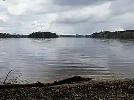
Abtsdorfer See is a lake in the region of Rupertiwinkel in Bavaria, Germany. At an elevation of 426.20 m, its surface area is 0.84 km².
Sources
- Nixdorf, B.; et al. (2004), "Abtsdorfer See", Dokumentation von Zustand und Entwicklung der wichtigsten Seen Deutschlands (in German), Berlin: Umweltbundesamt, p. 6
This article is issued from Wikipedia. The text is licensed under Creative Commons - Attribution - Sharealike. Additional terms may apply for the media files.